
Calicut to Wayanad
NH 212 connects Calicut with Wayanad. The road distance between Calicut (Kozhikode city) and Wayanad (Sultan Battery) is about 100 km.
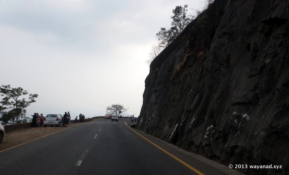
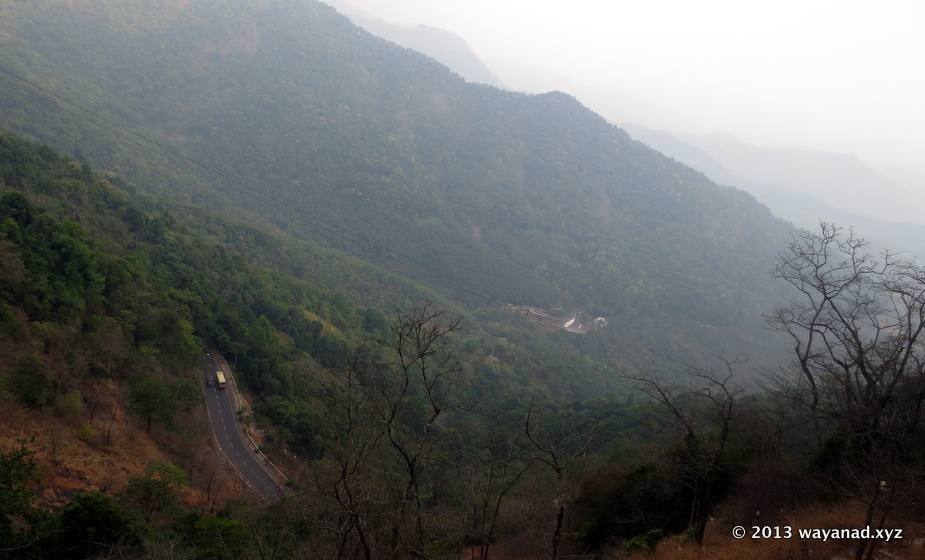
NH212 at Thamarassery
NH212 at Thamarassery. The the end of hairpin bends at the Thamarassery Ghat marks the border between Calicut and Wayanad districts.
For accessing the southern parts of Wayanad this is the recommended route.
 Calicut to Wayanad (Sultan Battery) Route (NH 212):
C
alicut -- 15km --> Kunnamangalam -- 30km --> Thamarassery -- 15km --> Adivaram -- 12 km (Ghat section) --> Lakkidi -- 5km --> Vythiri -- 6km --> Kalpetta -- 8km --> Kainatty -- 23km --> Sultan BatteryFor Traveling to northern parts of Wayanad, you can select from two major options, the first one is via Kalpetta, take diversion at Kainatty to Mananthavady. The second option is via Kuttiyadi. Both are of comparable distances (about 100km), the later is a bit less
route compared to the NH212.
Calicut to Mananthavady via Kalpetta : Calicut -- 15km --> Kunnamangalam -- 30km --> Thamarassery -- 15km --> Adivaram -- 12 km (Ghat section) --> Lakkidi -- 5km --> Vythiri -- 6km --> Kalpetta -- 8km --> Kainatty -- 14km --> Panamaram -- 13km --> Mananthavady
Calicut to Mananthavady via Kuttiady : Calicut -- 24km --> Ulliyery -- 30km --> Kuttiadi -- 43km --> Mananthavady.
There are quite frequent direct bus services from Calicut to Sultan Battery.
Distances to some popular routes from Calicut:
Calicut to Vythiri : 62km
Calicut to Thirunelli : 130km
Calicut to Pookode Lake: 60km
Calicut to Tholpetty wildlife sanctuary : 120km
Calicut to Muthanga Wildlife sanctuary :110km
Calicut to Edakkal Caves :100km
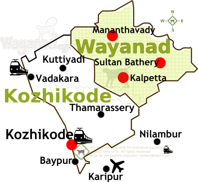
Kozhikode is located west of Wayanad District.
Kozhikode is located west of Wayanad District.