Lakkidi View Point
Located on the southern edge of Wayanad, Lakkidi is literally the gateway to Wayanad.

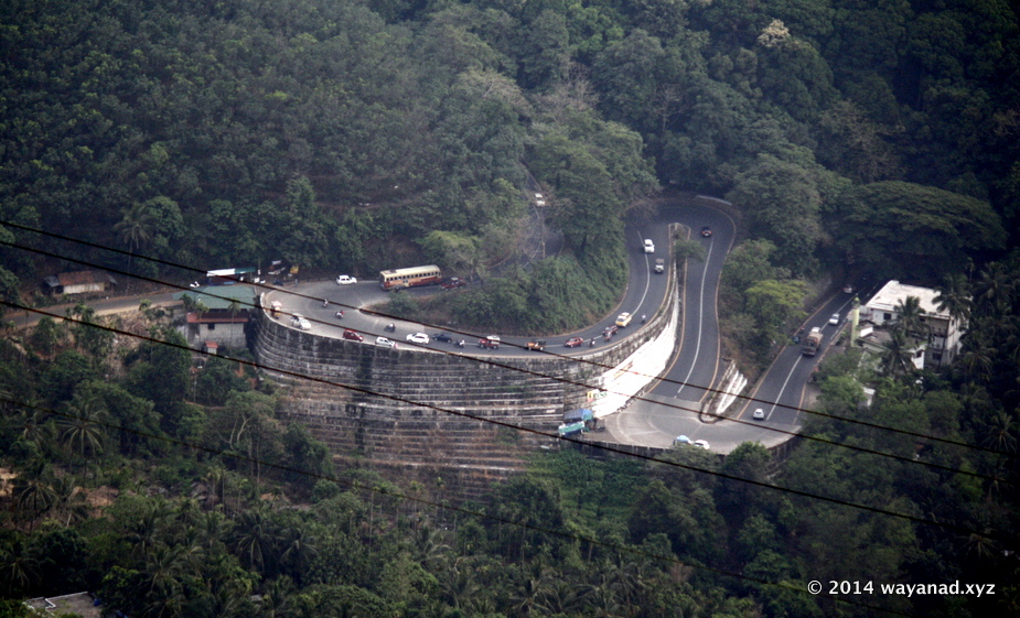
thamarassery churam seen from Lakkidi View Point
thamarassery churam seen from Lakkidi View Point
About 5km south of Vythiri town on the NH212 is the Lakkidi View point.
T
his is a popular picnic spot offers a fantastic view of the valley and the sneaking ghat road known as the 'Thamarassery Churam' that connect Wayanad with Calicut.Located 700m above sea level at a peculiar fold in the western ghats, Lakkidi gets about 600cm rainfall annually, making it one of the highest rainfall region in Kerala.
It's quite easy to get to Lakkidi. If you are driving from or to Calicut from Wayanad, you'll naturally pass this place and indeed the ghat pass.
You'll see vehicles park by the side of this high point on the pass and people enjoying the view of the valley. Other attractions in the vicinity is the Chain Tree with a popular myth associated.
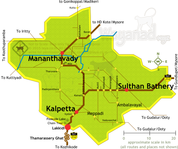
Pookode Lake is about 4km north of Lakkidi View point. The Chain tree is just a km north of the view point by the side of the highway.

Lakkidi and Thamarassery Route in Wayanad. The view point is located at the upper end of the Ghat Road (Thamarassery Churam).
Lakkidi and Thamarassery Route in Wayanad. The view point is located at the upper end of the Ghat Road (Thamarassery Churam).

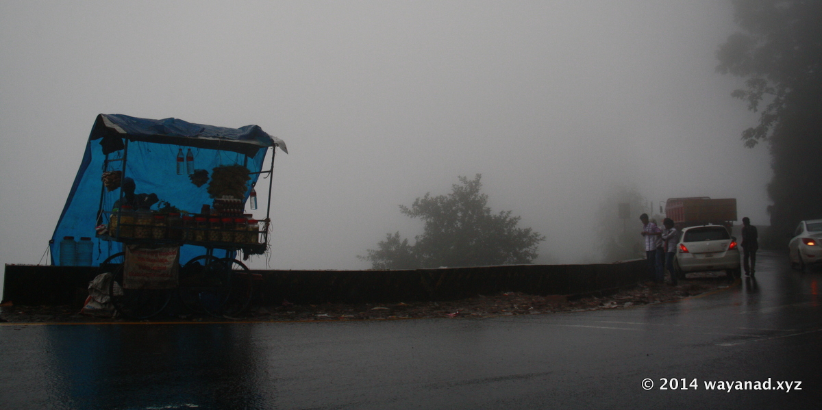
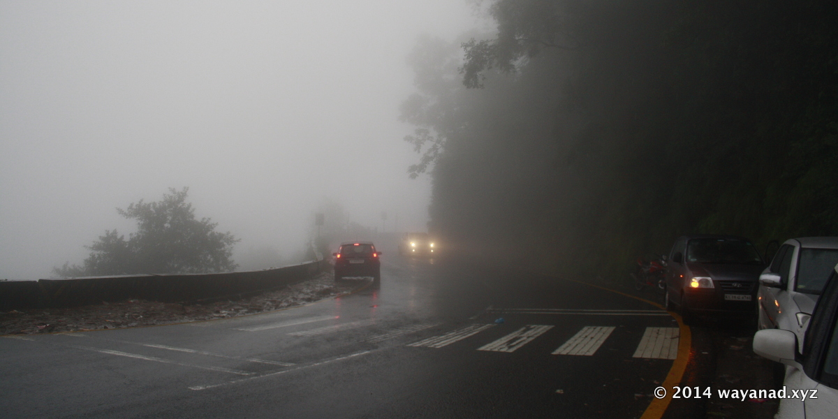
Rain drenched viewpoint overlooking the Thamarassery Ghat Road at Lakkidi
Located 700m above sea level at a peculiar fold in the western ghats, Lakkidi gets about 600cm rainfall annually, making it one of the highest rainfall region in Kerala.

The Ghat Road is curvy and steep with numerous hairpin bends, but in excellent condition.
The Ghat Road is curvy and steep with numerous hairpin bends, but in excellent condition.
